Chapter 6
The Power of Inspired Architecture

QR Code 6.1

Diagram of transsects used in urban planning, showing a vertical gradient from natural zones to urban core zones, with illustrations of different environments, a 3D ecological transect, and aerial views of an urban-to-rural transition.
A Land Use and Urban Planning Diagram showing the planning of transects at Serembe, with a focus on Hamlet Transects, Thorburn Transect, and related massing schemes, landscape forms, and neighborhood layouts.
Diagram showing the different zones in Selborne, including Central Zone, Central Core, Urban Zone, Suburban Zone, Rural Zone, Natural Zone, and Selborne Hamlet. The zones are circled in red with labels on the right. Two images on the right show a street with people walking and a residential neighborhood with trees and houses.
Black and white chart titled "Planning Elements of Thorburn Transect" with sections for Commercial, Townhomes, Cottage Homes, Estate Homes, and Rural Structures, each listing construction and landscape features. Includes photographs of buildings and landscapes.

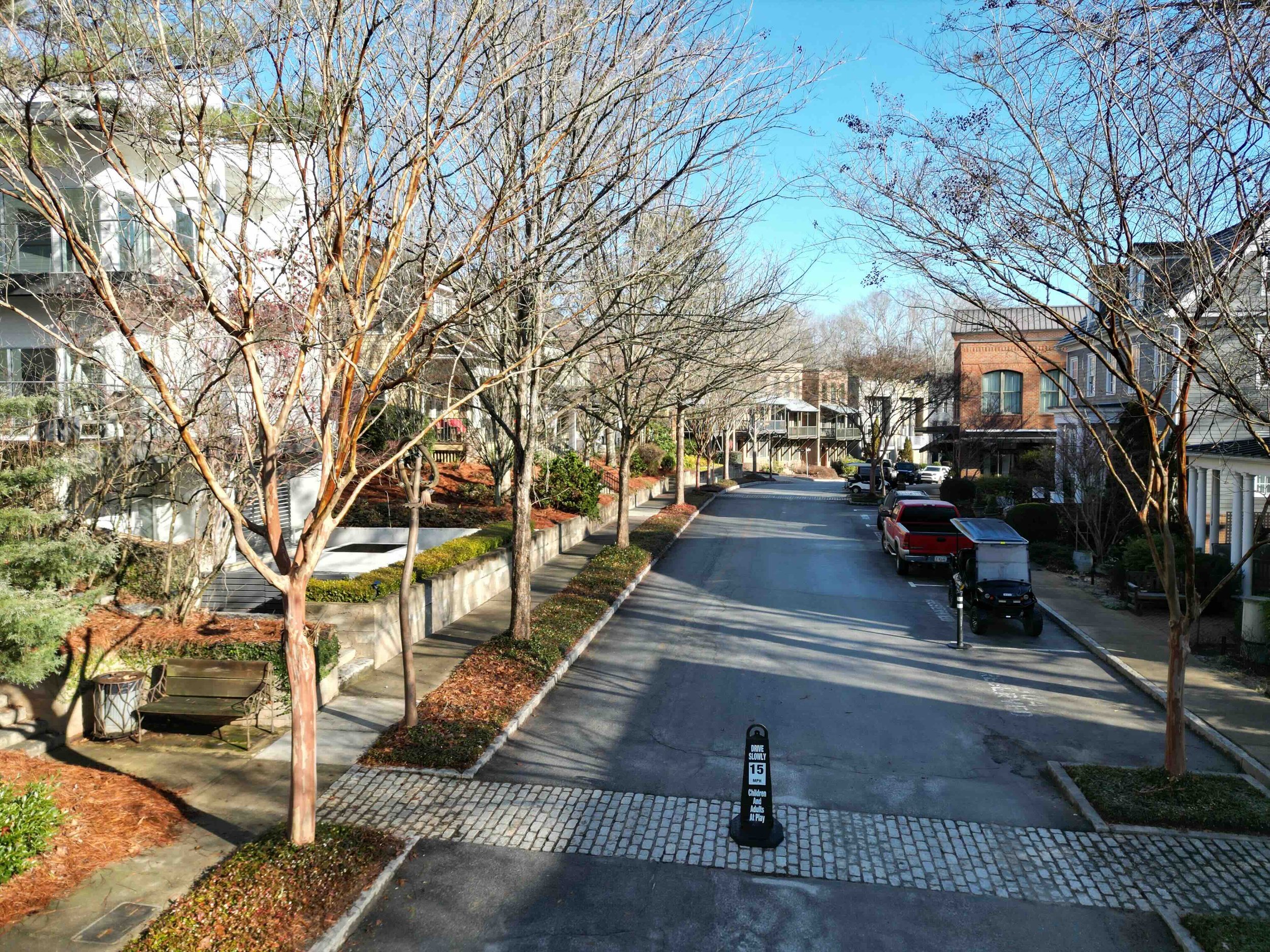
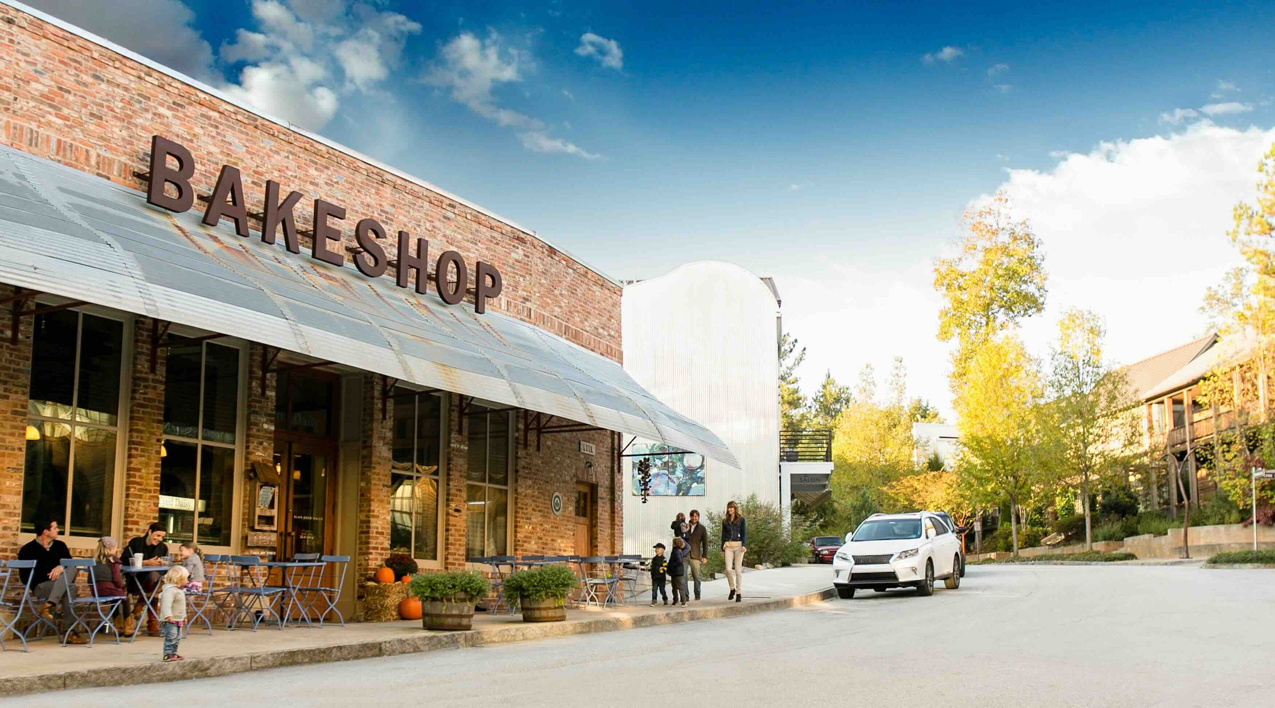
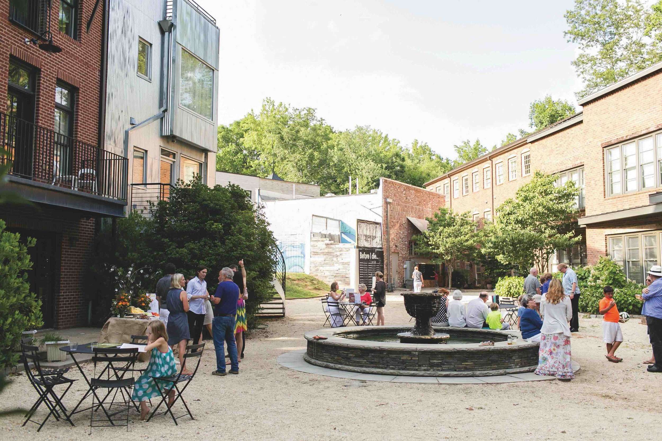
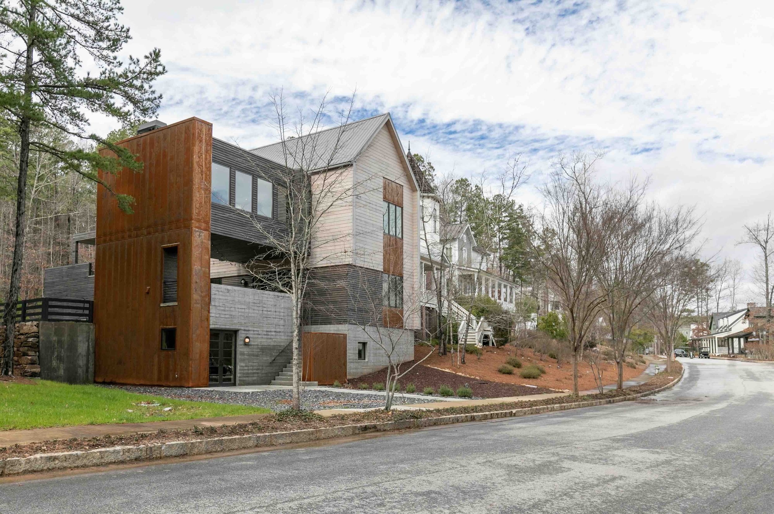
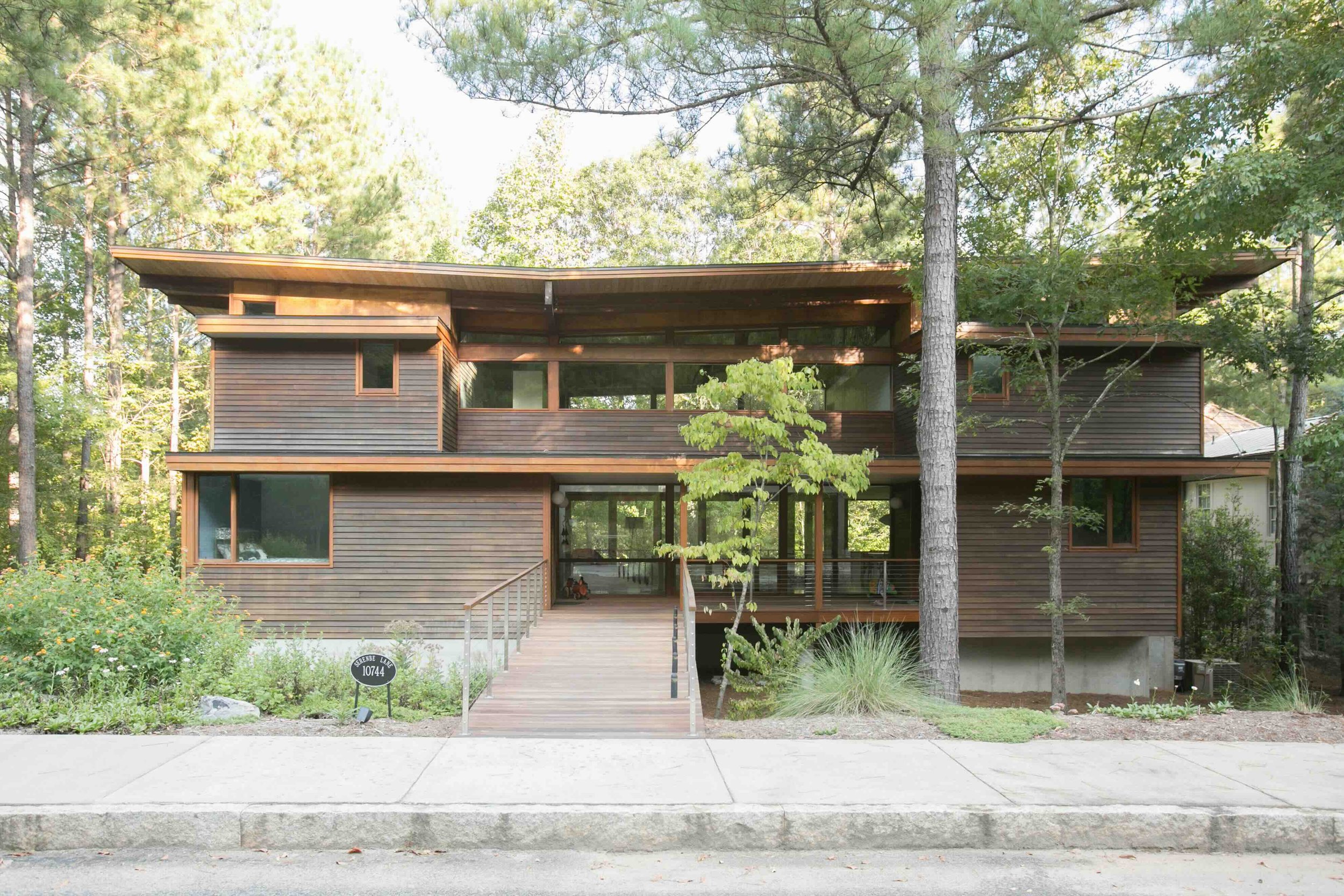
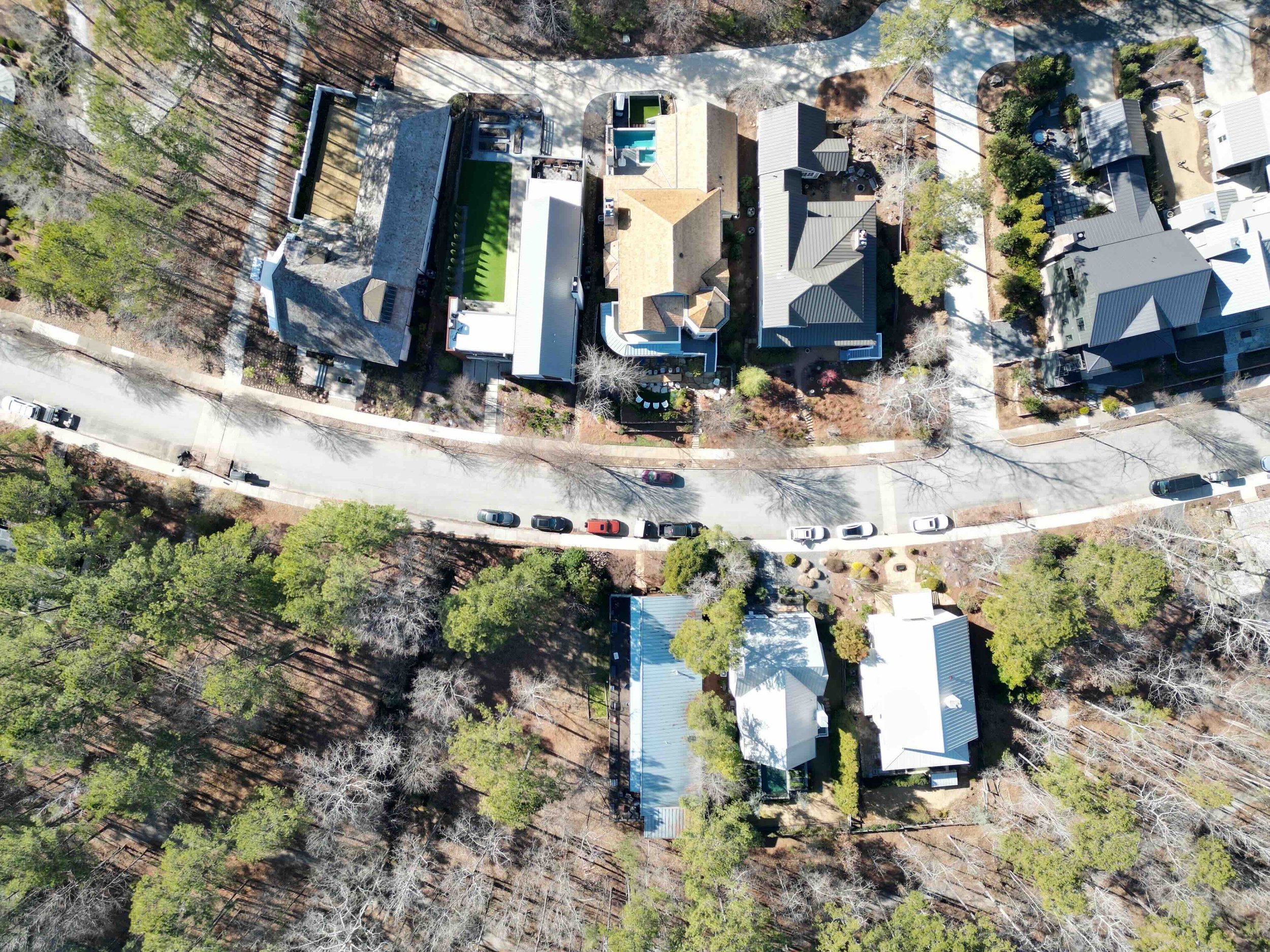
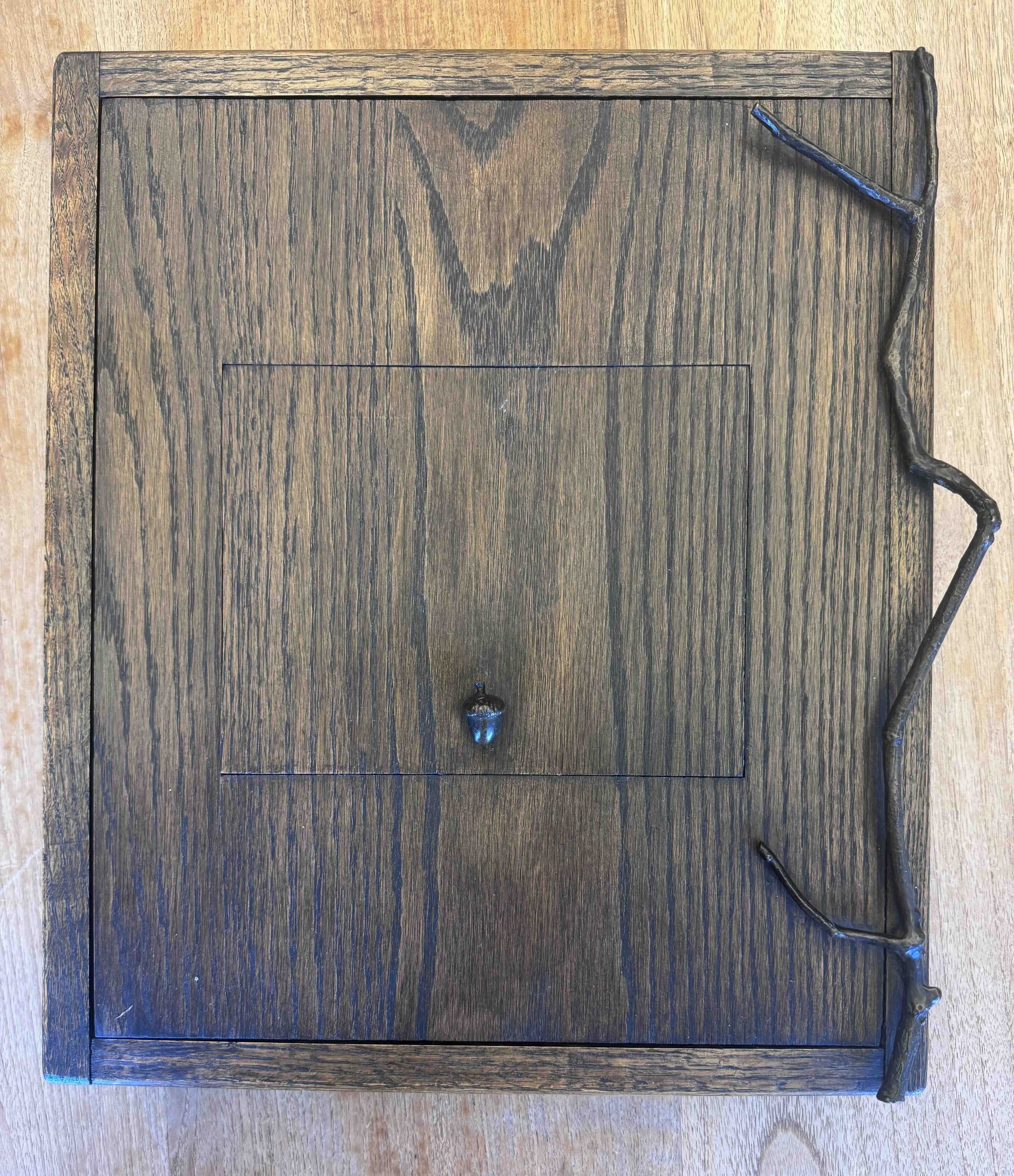
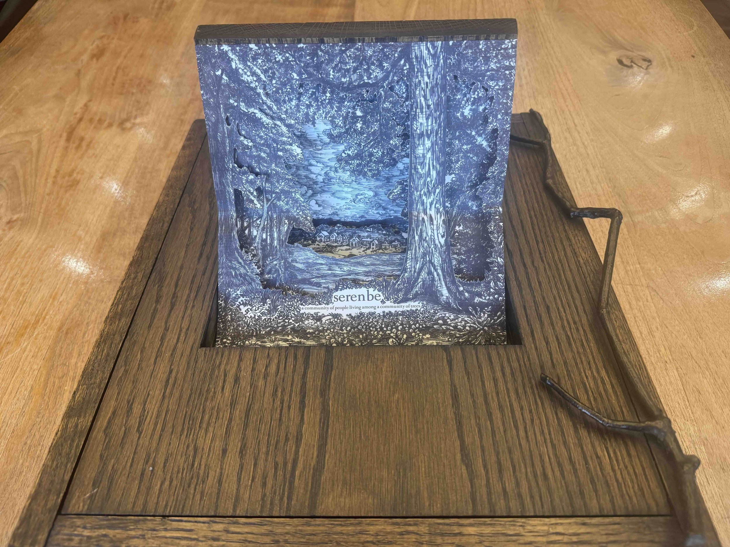
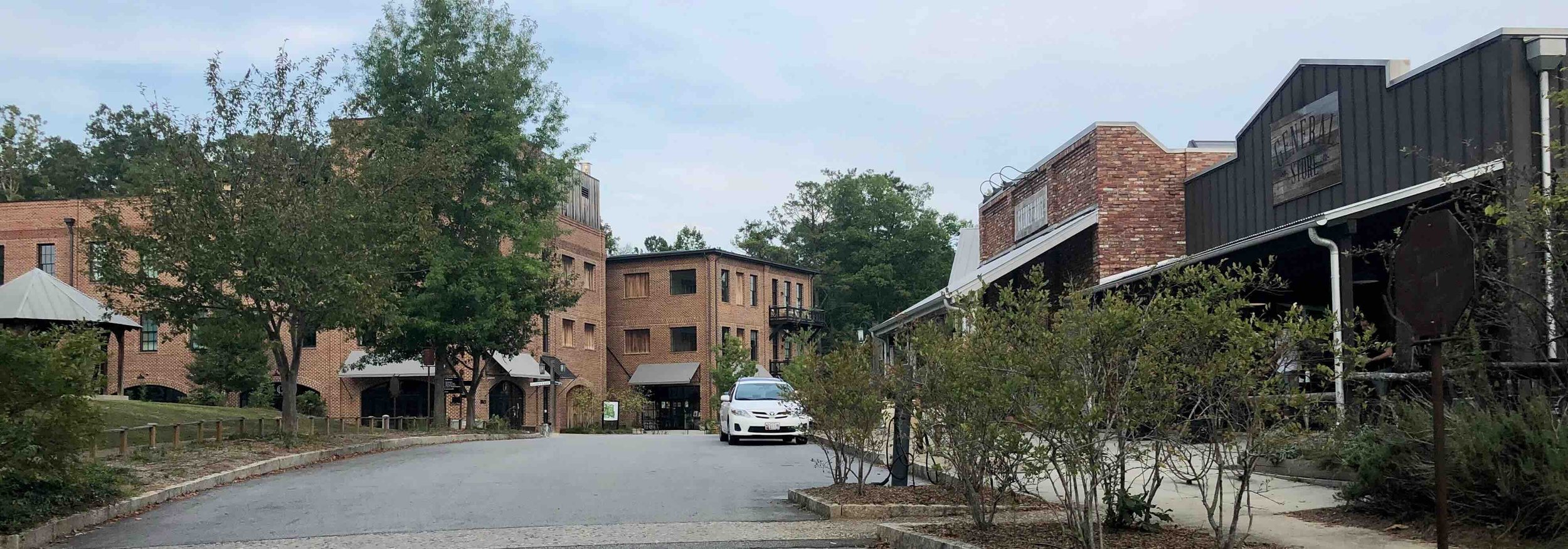
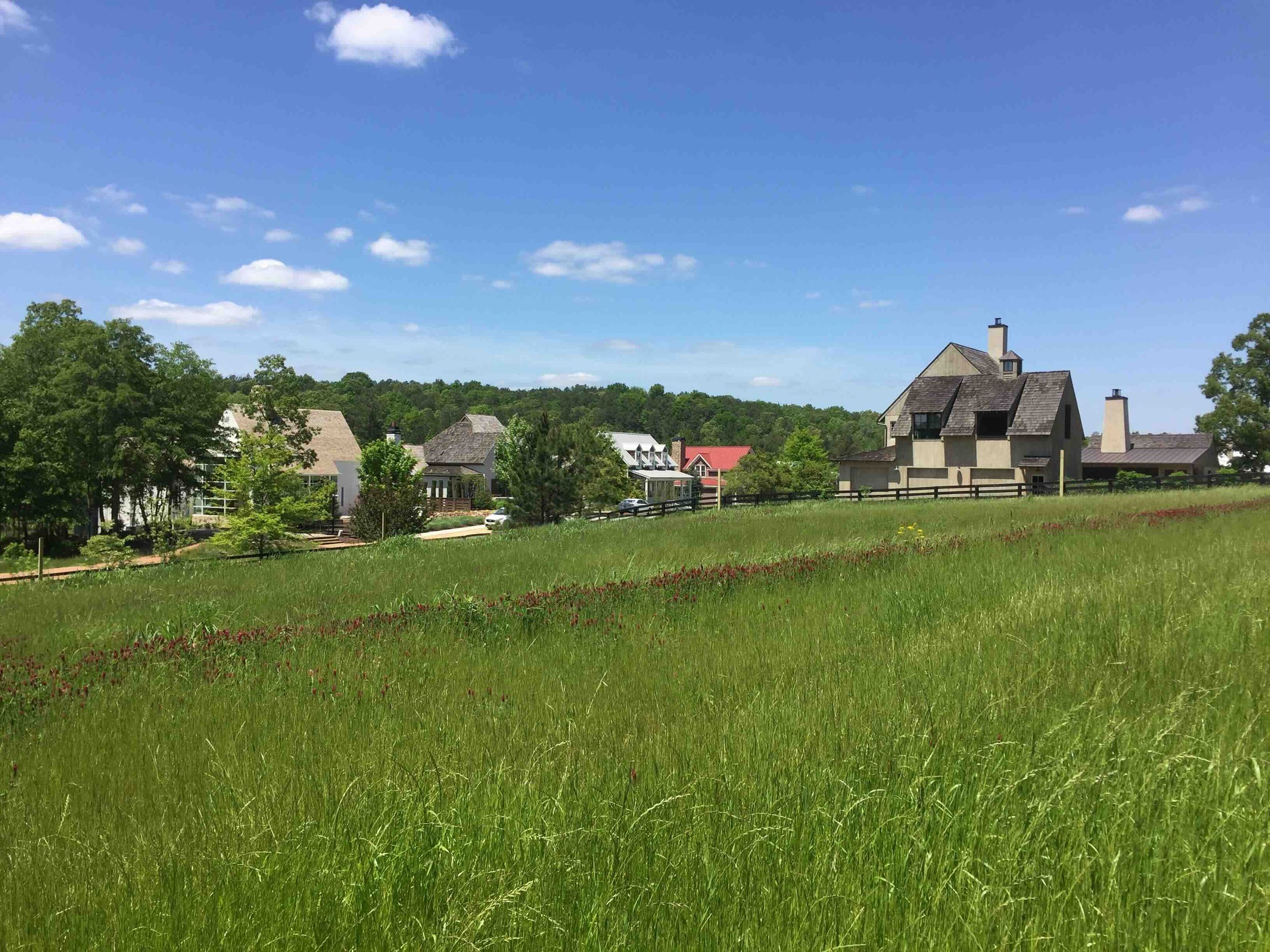
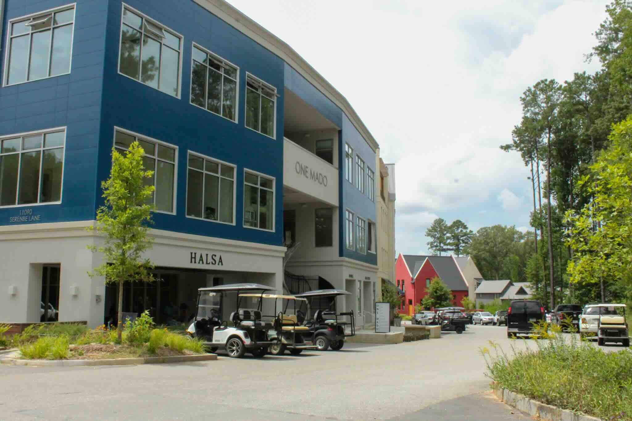
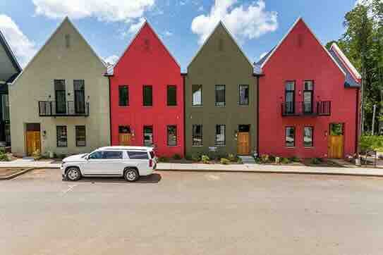
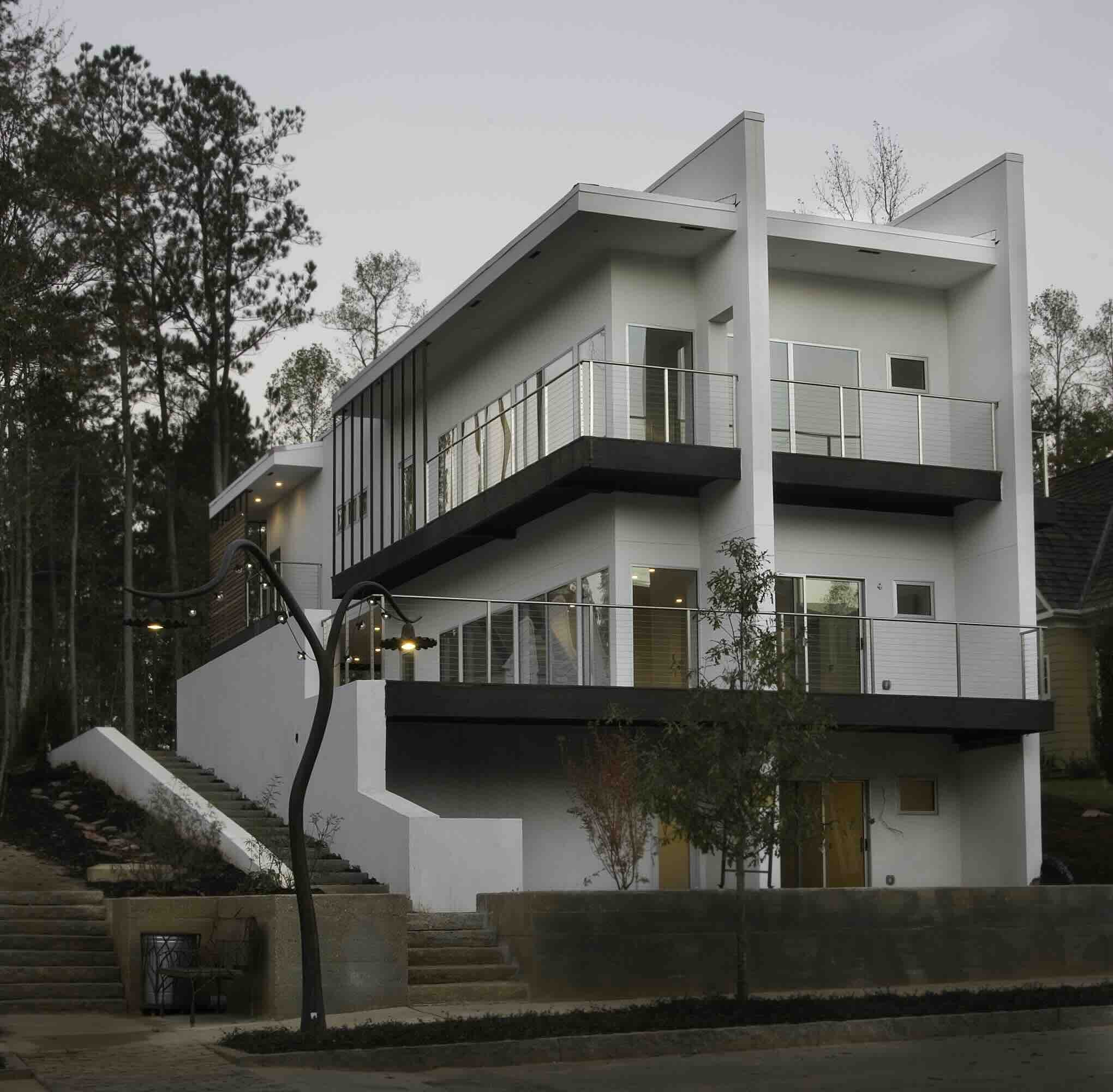
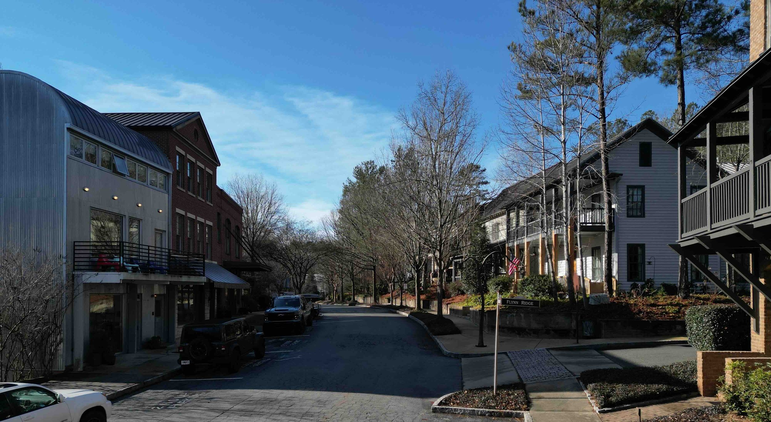
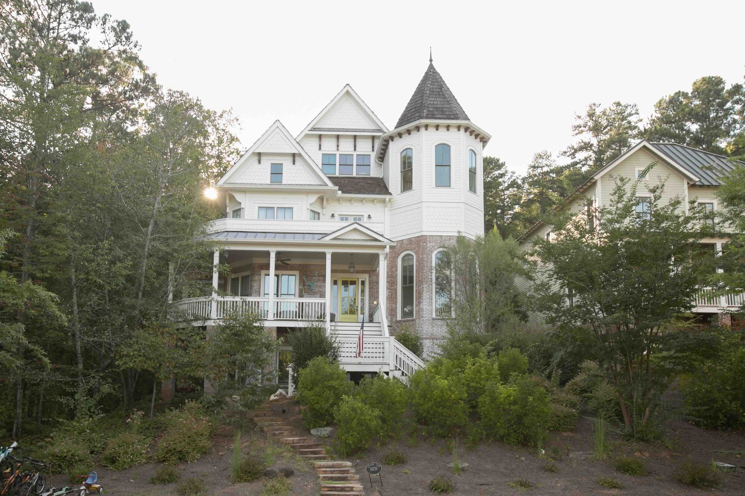
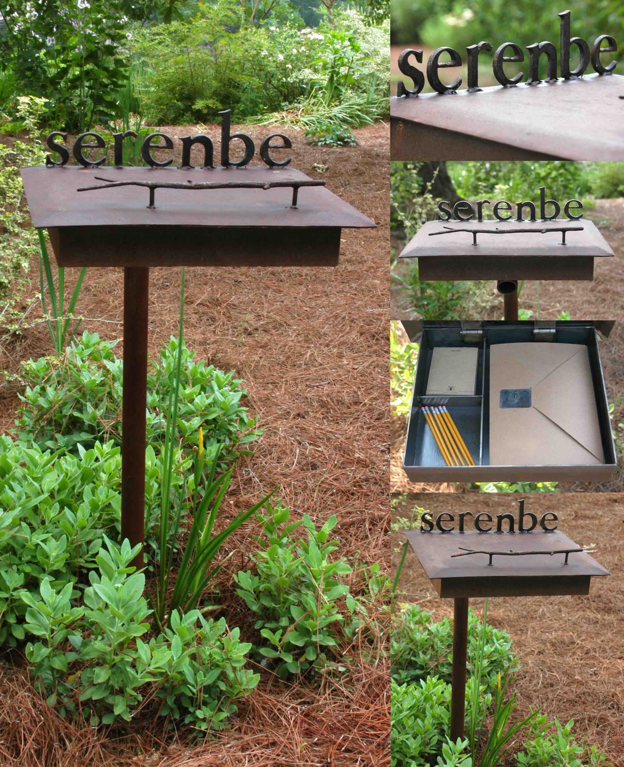
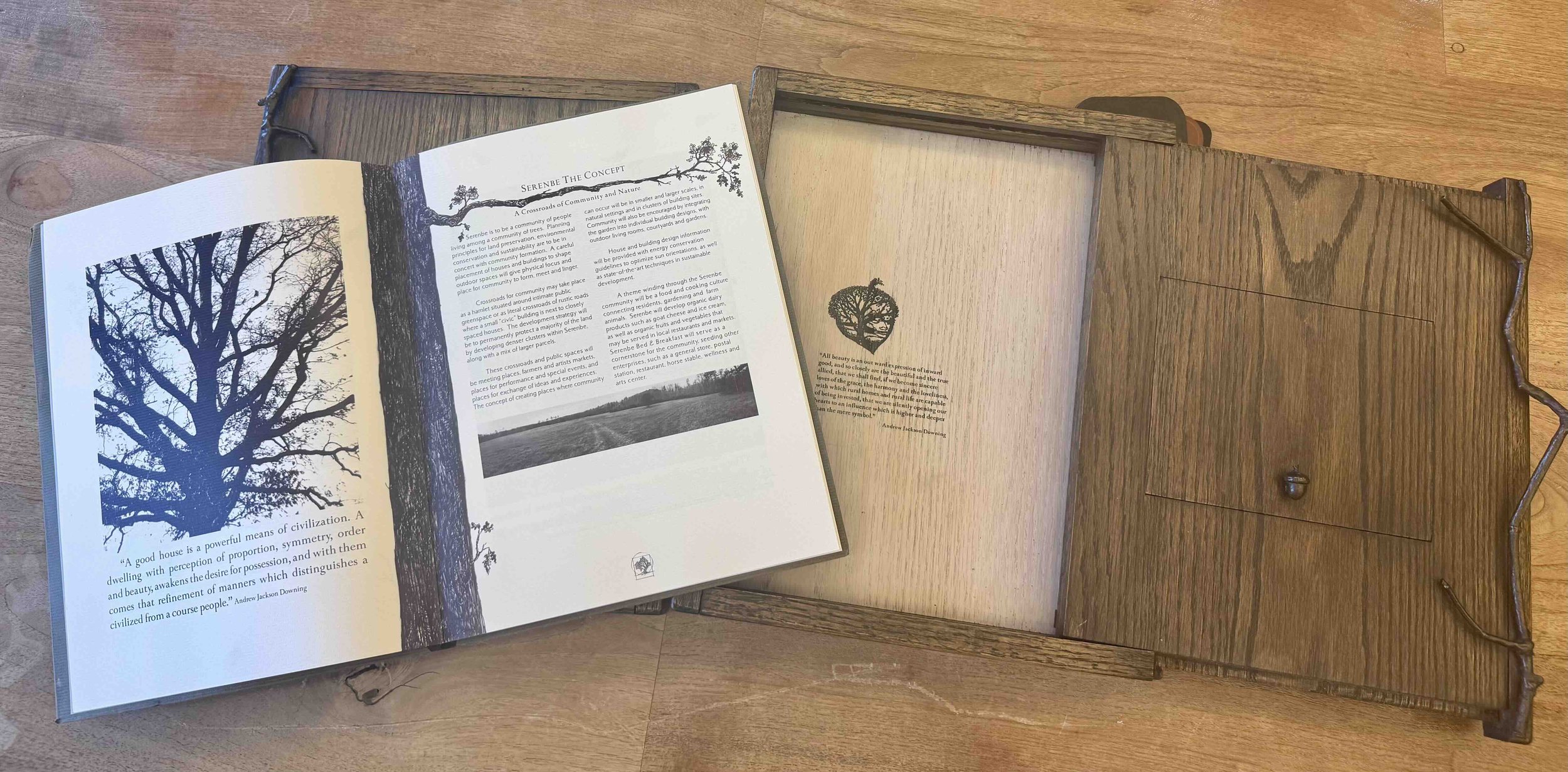
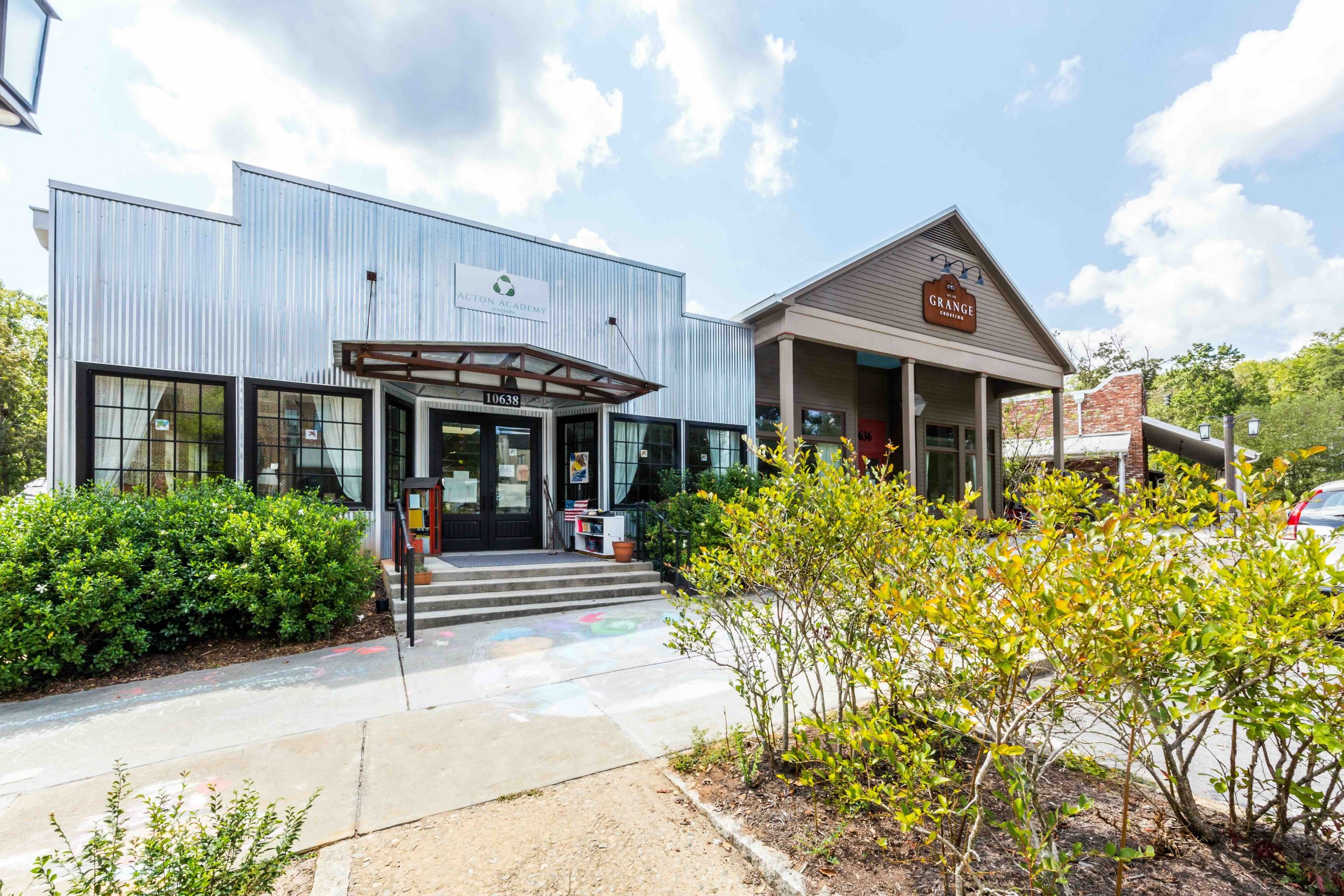
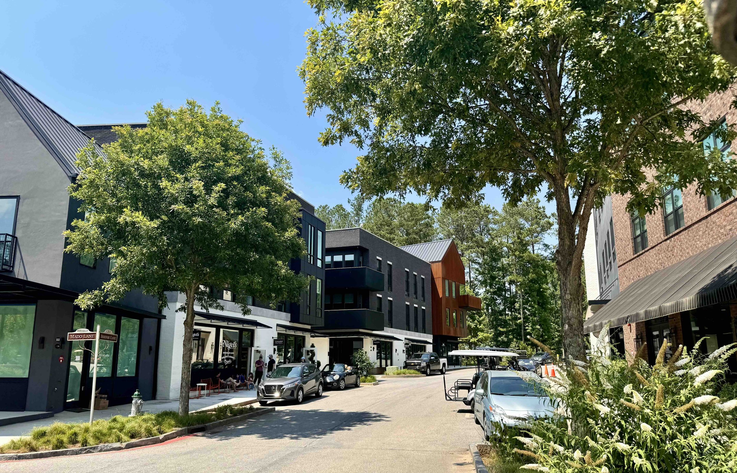
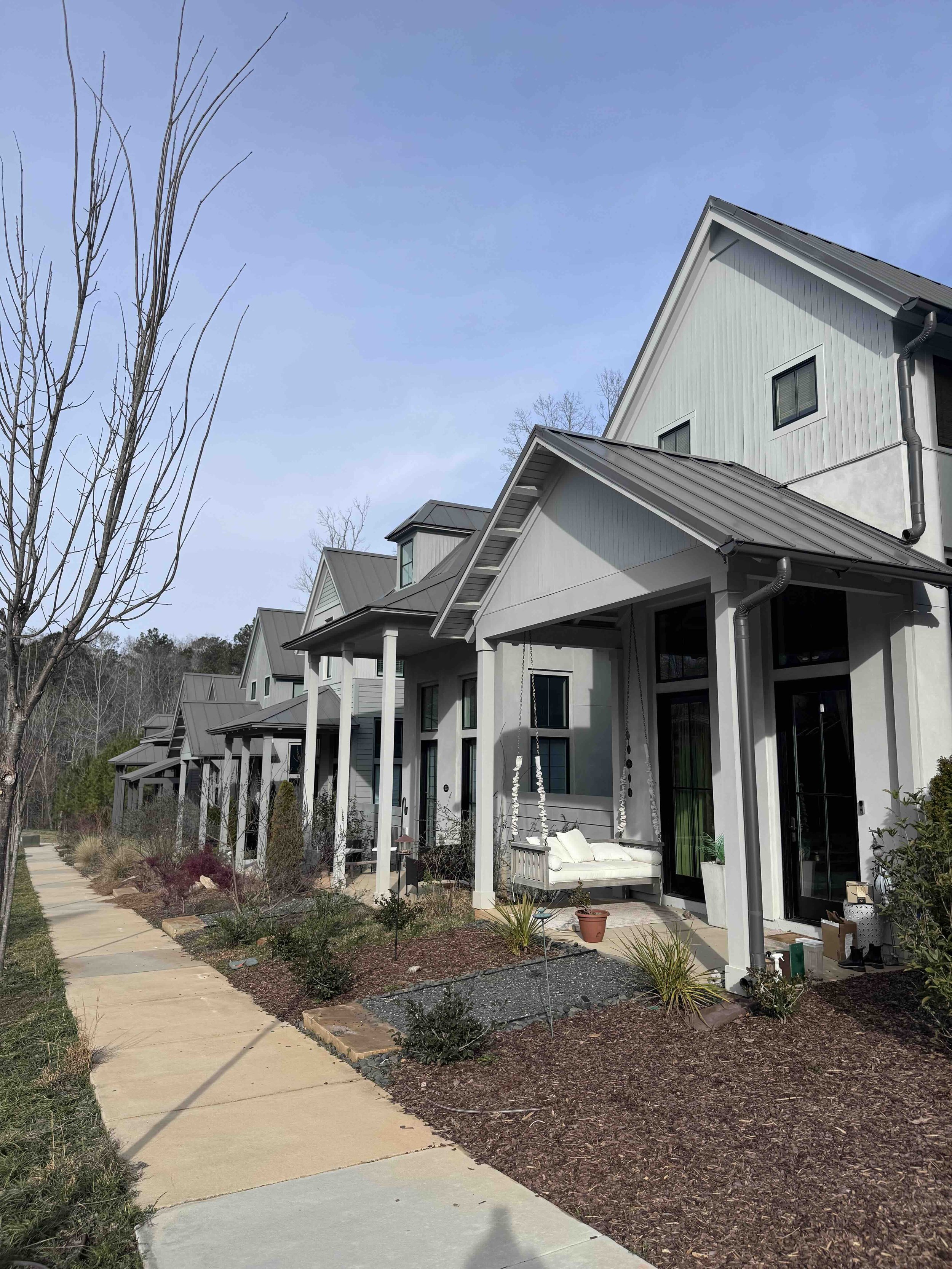
Chapter 6 Image Gallery