Chapter 7
A Fit Community
QR Code 7.1


QR Code 7.2
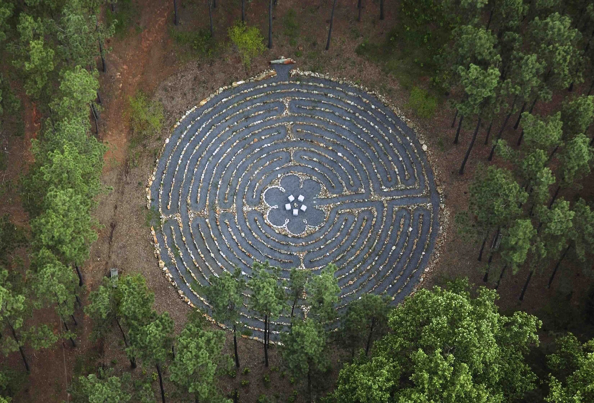
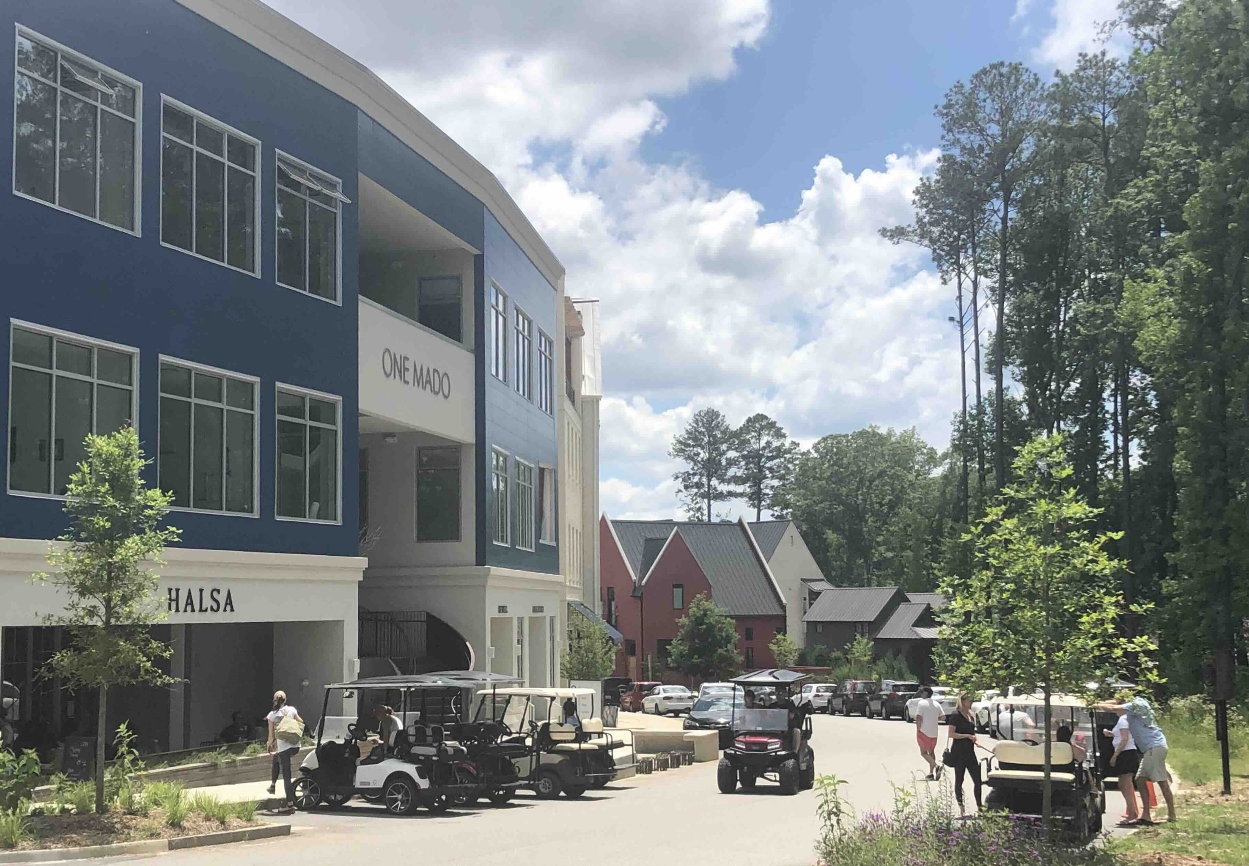
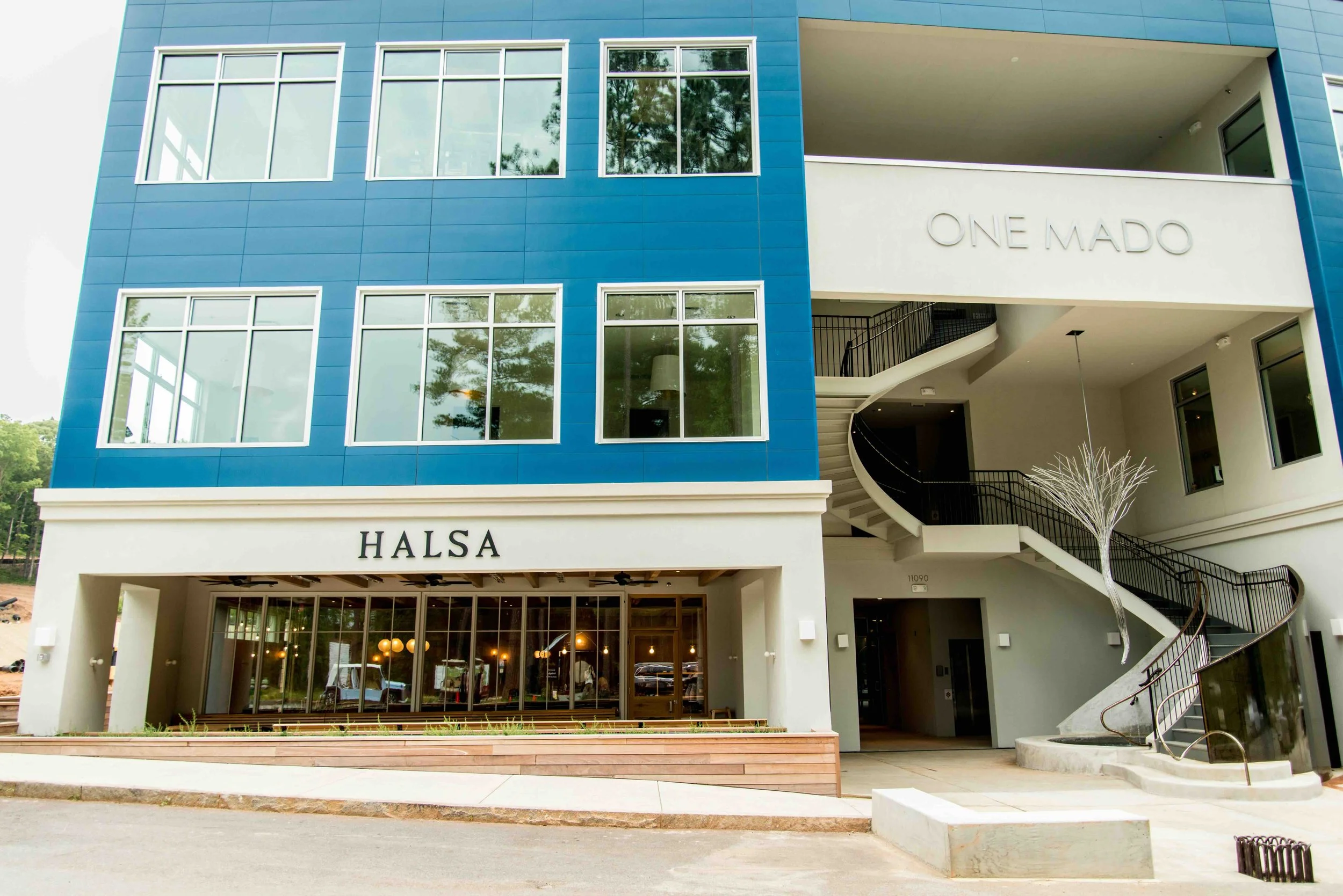
It’s rare to find a neighborhood development built specifically for wellness, but part of my vision for a biophilic community included a neighborhood based around health, fitness, and well-being. Since its development, Mado has become a hub for health practitioners of all kinds—not just traditional doctors. It was created to treat and nurture the whole person, and to help people stay healthy at every stage of life.
View a listing Serenbe’s health and wellness businesses—many of which are located in Mado.
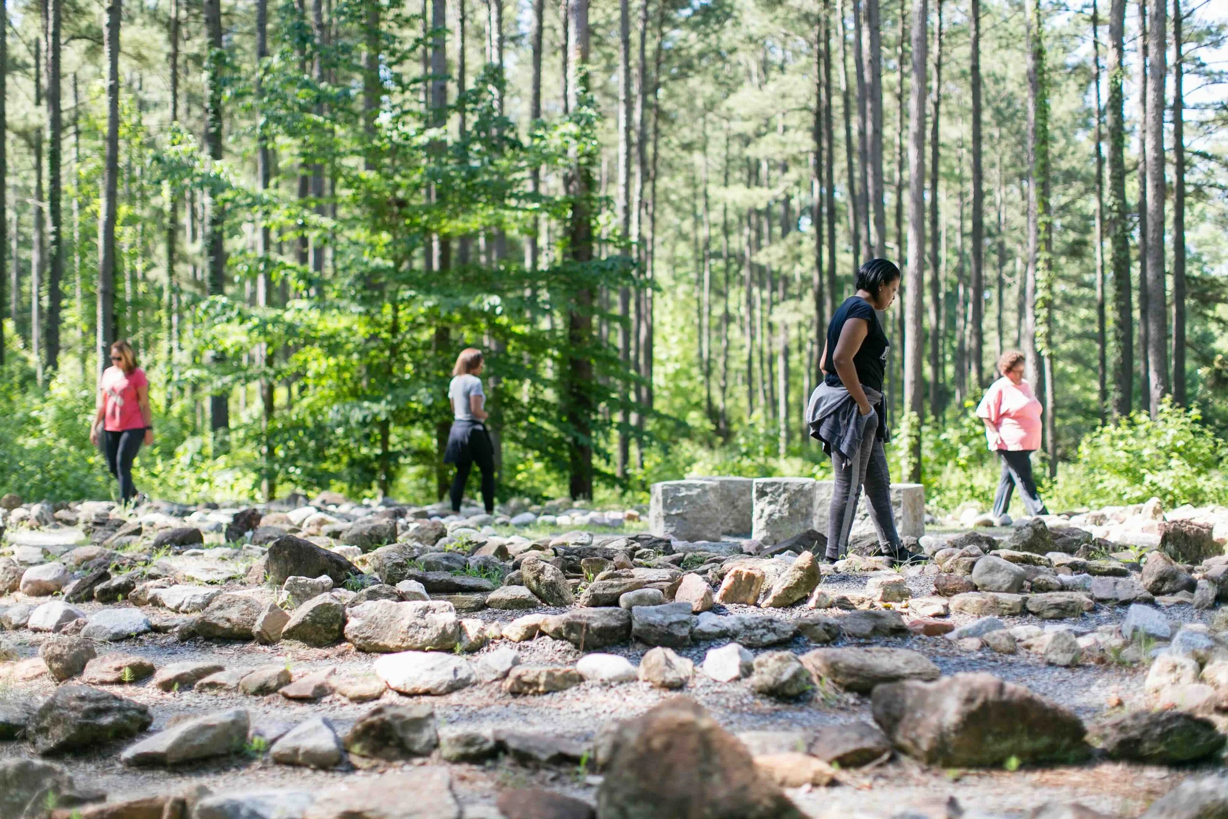
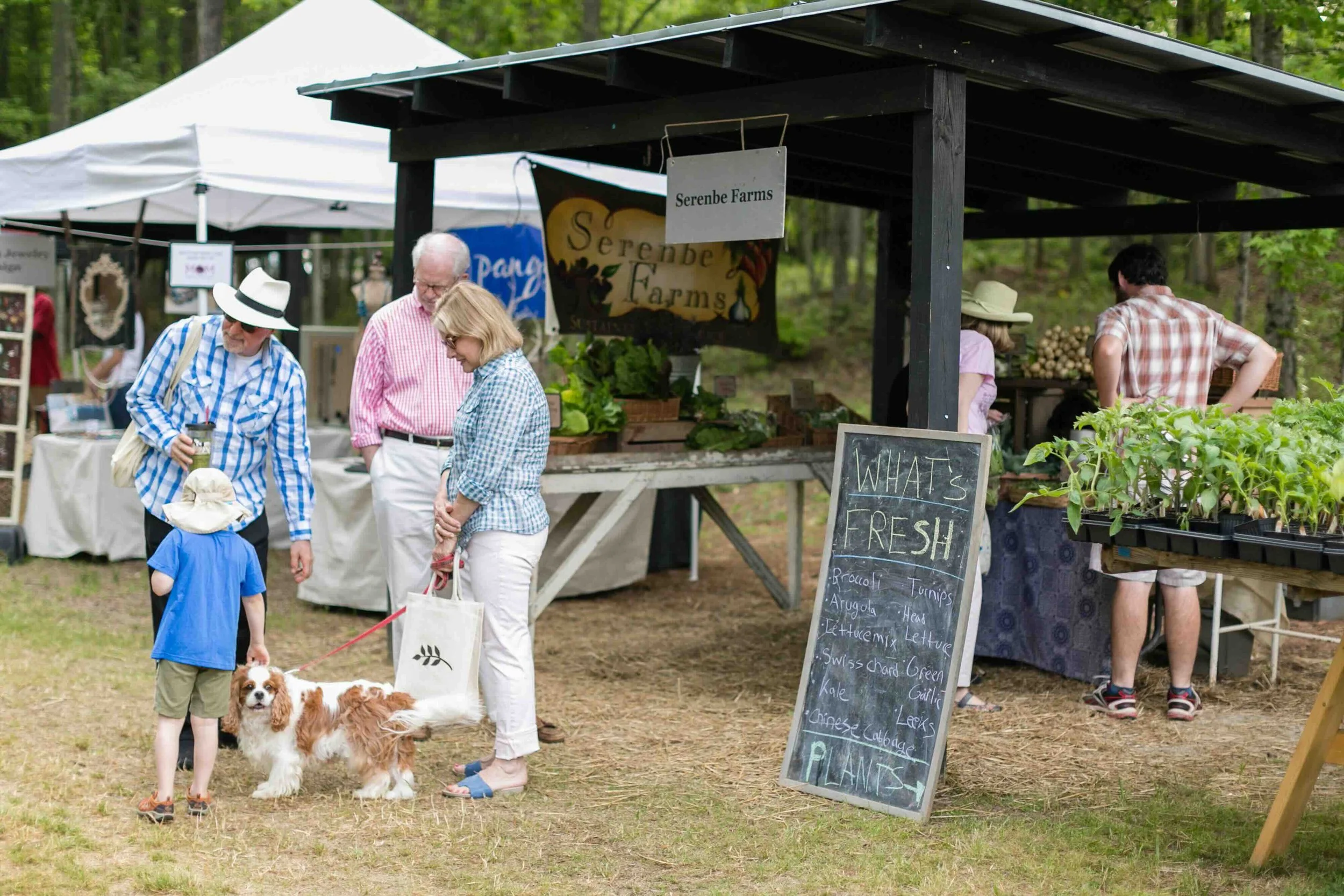
Chapter 7 Image Gallery
Chapter 7 Image Gallery