The Third Public Meeting
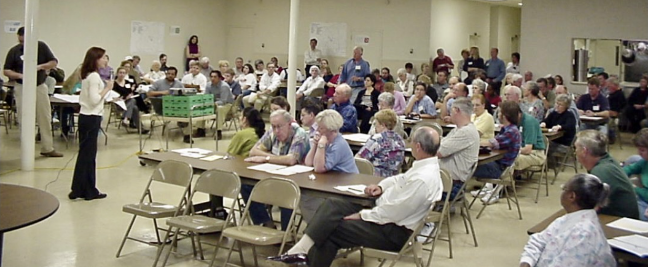
The crowds at the first two public meetings were so large that we realized we had to find a larger space for the next meeting. The Palmetto Baptist Church graciously offered their large community room for the third meeting. The room was set with 14 large round tables with a few chairs for those who wanted to sit but many stood gathered around the tables.
Each table had 15 to 18 participants. On each table was a large base map of the 40,000 acre area we were now calling the Chattahoochee Hill Country along with pencils and color markers. We ask each table to act as a team and mark up the map with green lines to circle things they wanted saved. Stream buffers already showed on the map so the group focused mostly on historic buildings, markers and view sheds.
Our consultants, ECOS and Village Habitat, researched metro Atlanta’s development patterns and determined that development projects that were approved in the seventeen county metro area during the 1980s and 1990s produced an average density of 480 dwelling units per square mile. This meant that if the Chattahoochee Hill Country area followed the same pattern of entitling 200, 500 or 1,000 acres at a time, the area would most likely follow the same pattern of sprawl and disturb 80% of the land for 30,000 houses.
During the many coffees hosted by the team leader groups, we talked about development options that could occur in the area. We were now ready to put that knowledge to work. We asked the groups to spend the next 45 minutes of this third meeting deciding where to put 30,000 housing units. Our consultants had prepared templets that represented various development patterns from one house per 5 acres to 30 units to an acre.
Two hours later, we called a halt to the active discussion and shifting of templets as each table calculated and recalculated their totals from the templets. I walked from table to table helping our consultant team answer questions. One table conversation that captivated me included two matriarchs. One woman who is a descendent from generational wealth in Atlanta and the other woman descended from slaves who were some of the first independent farmers and land owners in this area following the civil war. They bonded over a love for the beauty of the natural land and were excited about the possibility of saving the rolling hills from traditional development. They had each seen great changes to the landscape of the area over the years and feared what the next evolution could bring.
At the close of the meeting, the consultant group collected the various maps and announced they would attempt to see if there was a consensus or pattern to the markings for each group. In that one evening, citizens became land planners with a voice for the future. The meeting concluded with a great sense of hope and anticipation for the next meeting.